The bride on a windy Brooms Head, enroute to Red Rock
“Hey Don, what’s your next destination?” I asked in inquisitive tones. “Red Rock” was the reply.
We first met Don at Evans Head, and as like a lot of folks, when we are parked up somewhere, our “tug” the Chrysler Valiant attracts lots of enthusiasts of the 70’s era. However all that aside, Don was also an interesting character, a man with a wealth of knowledge of this great continent we call Australia. Don is a solo traveler, who has spent the last up-teen years, traveling this great land in his trusty 80 series Land Cruiser, and his ever faithful Windsor single axle caravan. The caravan has seen the worst of what the Australian roads and conditions have to offer, and with more than its fair share of destination stickers plastered all over the back of the van, it made the RetroLiner, look like a second cousin in the advertising department.
So when asking Don on forth coming destinations south of where we were at Evans Head, Red Rock was the answer. Of course one took on board any advice from this well traveled gentleman. So I promptly asked, “Where’s that.” “About 40 kays north of Coffs Harbour.” was the reply. Don continued, “The park is right on the beach, lots of shade and great place to chill out, and not all that well known.” Sounds good to me I thought. However, said Don, “the facilities are a little bit how’s ya muther, but apart from that a great place.”
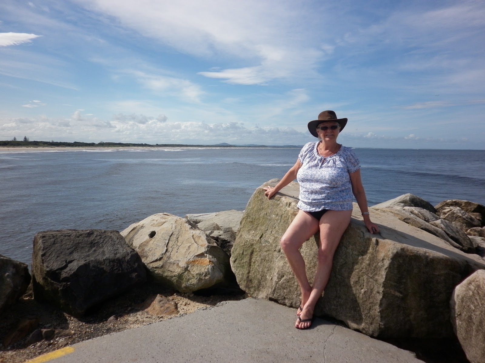
The "errie"sights of Red Rock
Now as I have mentioned million times before, we have traveled the route from the Goldie down the east coast to Sydney, countless times, however being a creature of habits, never really gave Red Rock another thought, let alone go there. We had in our minds, do the Yamba thing from Evans Head, then onto Sawtell……..again a creature of habits. So I quickly dug out the trusty Camps 5 and RACQ caravan guide. We instantaneously eliminated the camping area, as it was in a NSW National Park. When checking out the RACQ caravan park guide, the Red Rock Tourist Park came with a two and a half star rating. “Maybe a bit grotty” I said to the bride. What the hell, lets do it!

All parked up at Red Rock Tourist Park
As we had relatives at Sawtell – we had intensions of spending a week in the area. Now Red Rock to Sawtell was about 50 kays each way, however we felt Red Rock could be an ideal base anyway. Being only about 15 kays north of Woolgoogla, a very pleasant sea side village, and another 25 or so kays to the west was another one of our favourite retreats at Glenreagh, Red Rock may be the answer.
So we packed up from Yamba, set the GPS for Red Rock, dropped the Val into gear and off we go. Our trusty GPS has been a God Send since we have had it, however this time it continued to try to send me off on nearly every left hand turn going south from Yamba to Grafton. Now I knew, that there was only one entry to Red Rock, and that was well south of Grafton and north of Woolgoogla. So after telling the ditzy bird in the GPS “to get a life”, she finally sent me down the right road that was clearly sign posted anyway. Gotta watch these Sheila’s in GPS’s!!!
We arrived at Red Rock Tourist Park about an hour and a half after we left Yamba. An easy drive, considering we were traveling on the dreaded Pacific Highway. We parked up just outside the reception, and first decided to go for a walk around the park. What a neat place I though. There wasn’t a lot of RV’s there, and what was in residence, were scattered all over the place, and not lined up, like tin soldiers. We did notice however the best looking amenities block ever! As we have been getting our information about various places from the 2010-2011 RACQ caravan book, we appreciate things have changed, however we didn’t expect to find the best “dunny and shower” house in a place like this. What a ripper. State of the art fittings, new, clean and just so nice to see this Taj Mahal in a place like this. Thank you to the New South Wales Lands department.

The Taj Mahal
So we promptly booked in for a week, got the seniors rate, a’h its good to be over 60, and set up camp just a short stroll from the Taj Mahal. Took us forever to set up however, as we decided to erected the full annex, just in case of bad weather. This decision was the right one, as the next day it just blew and blew, with lots of showers.
Now Red Rock, is a small suburb to the north of the Coffs Harbour, and situated beside the banks of the Red Rock River. The town is surrounded by national parks, and was settled in the 19th century, with around about 275 people now living here. Red Rock is primarily a holiday village, and most of the houses remain empty throughout the year except in school holidays. There is a bowling club, a small corner store and of course the Red Rock Tourist Park.

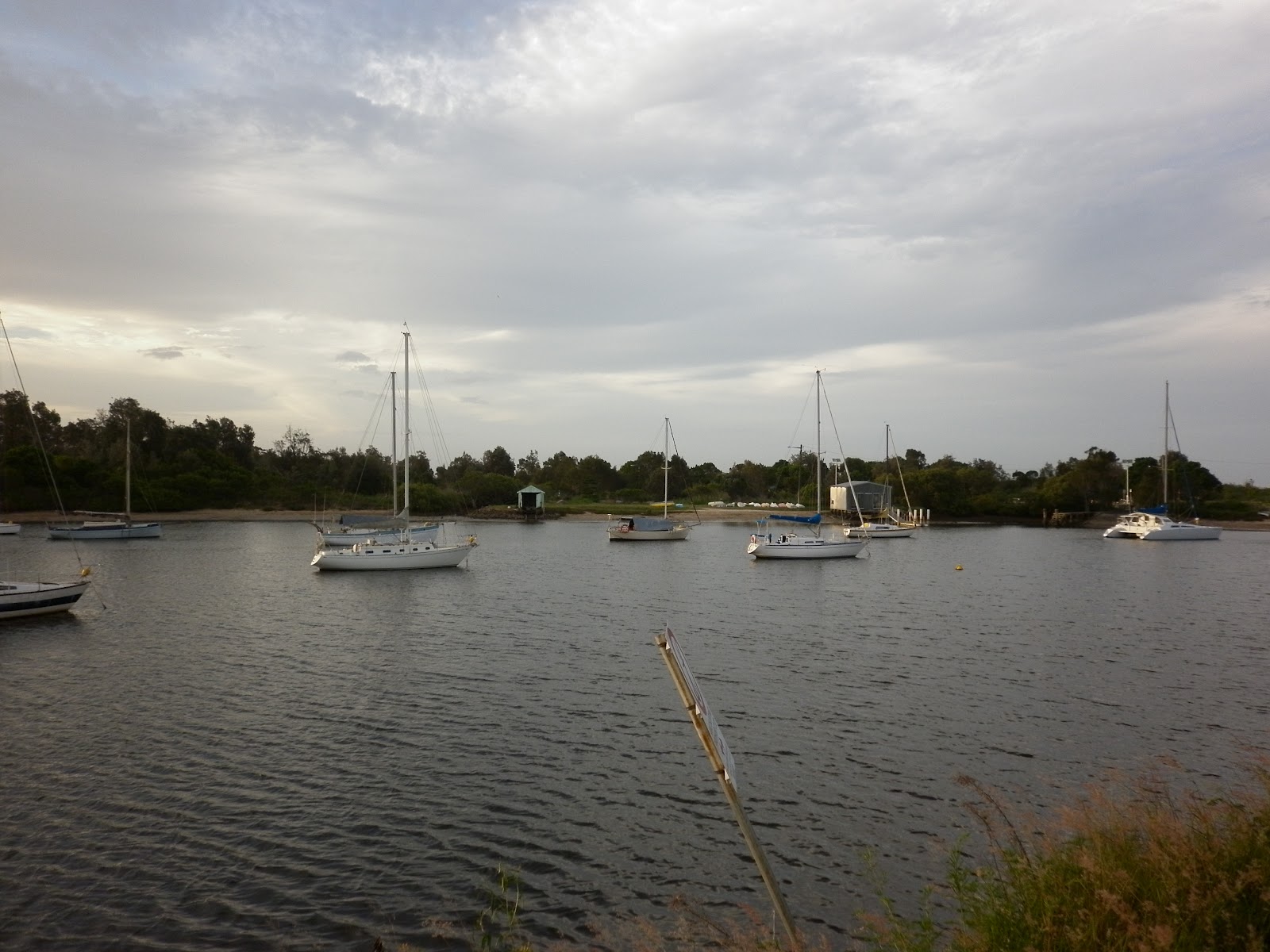
The Red Rock River
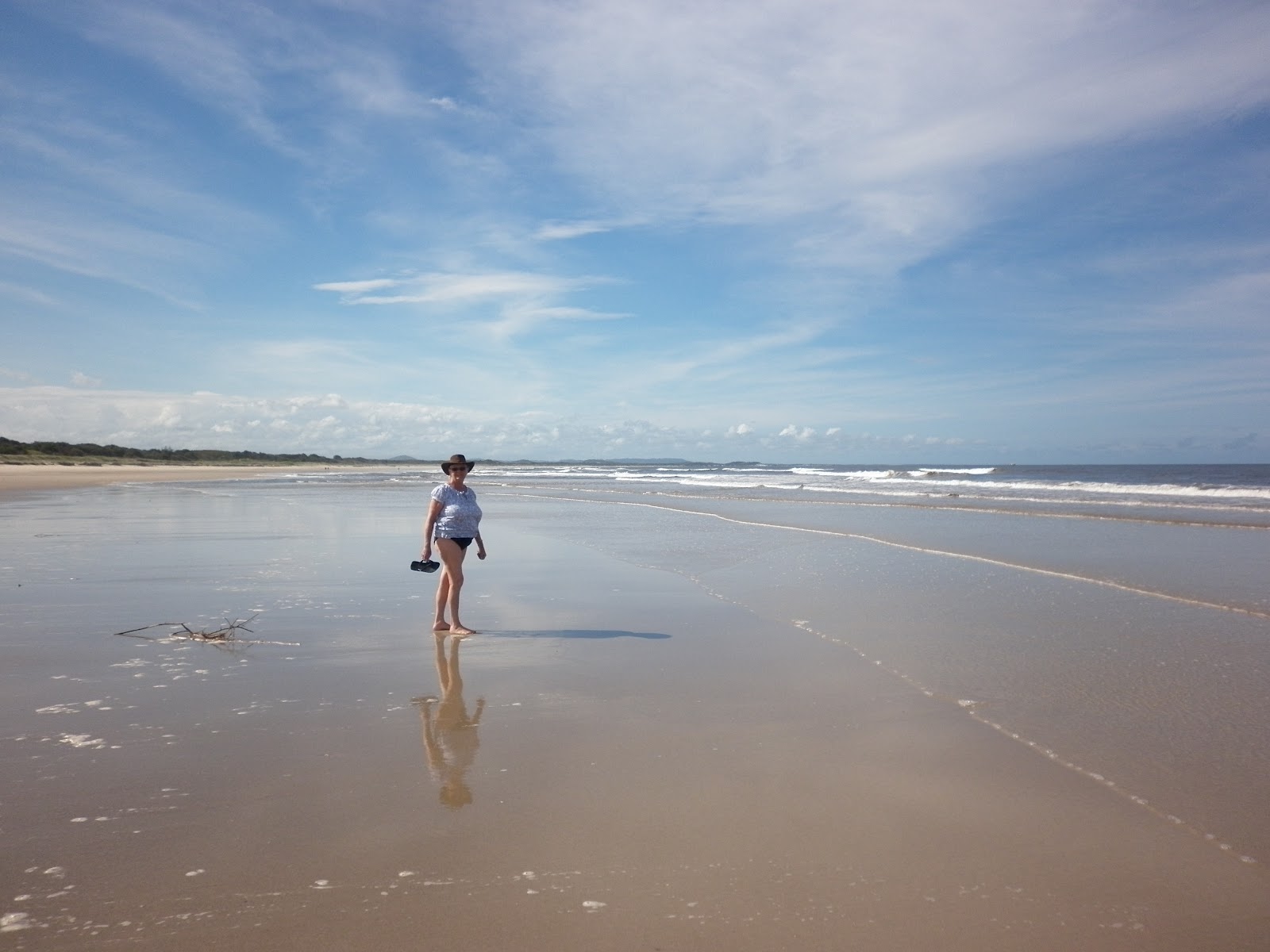
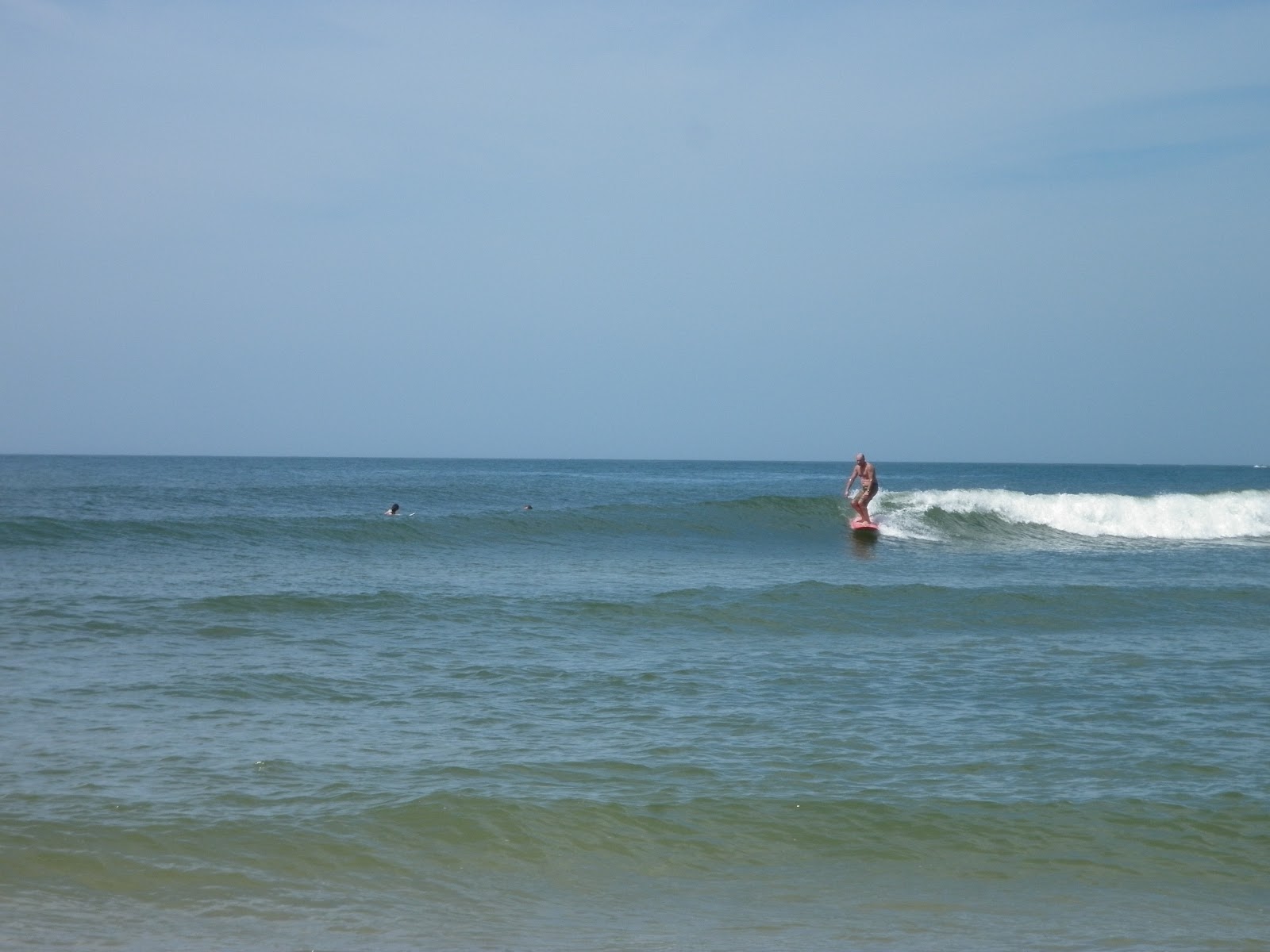
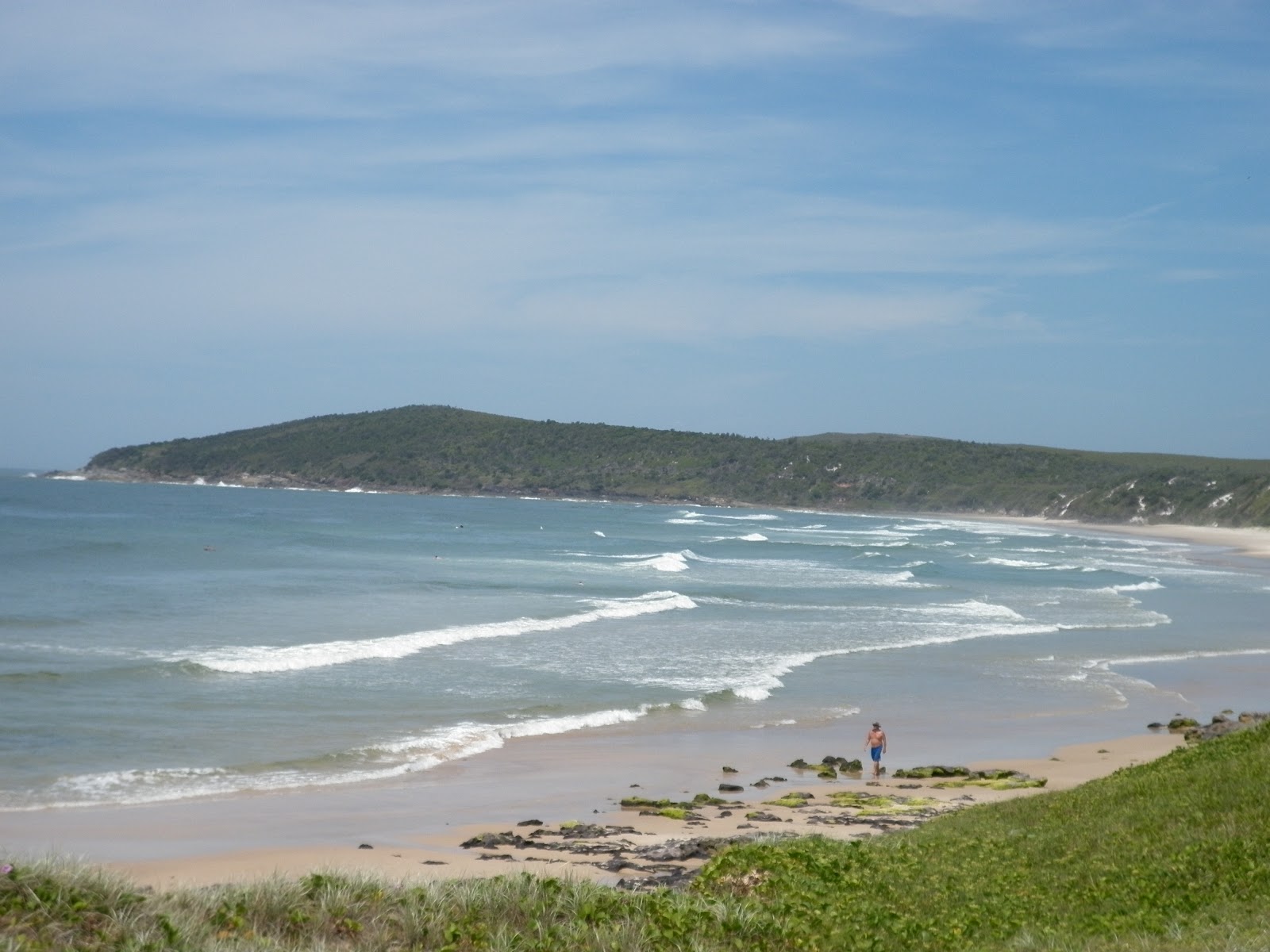
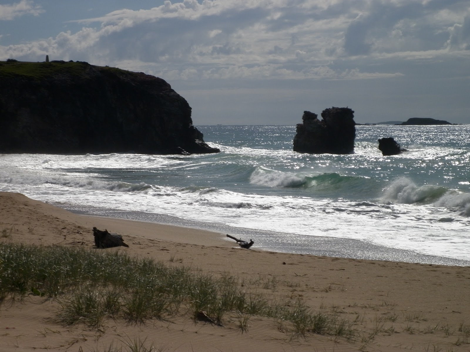
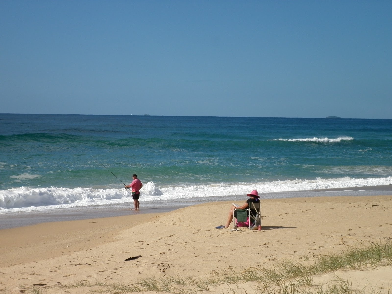
The area has a long beach – albeit quite dangerous for swimming and not recommended, however, provides excellent fishing and great waves, which have been mastered by the local surfers. The northern end of the beach, tucks in behind a huge headland and protruding rocks. Although extremely picturesque, it is quite intimidating at the same time. For walkers, the beach is best discovered at low tide, as during the high tide cycle, it is just impossible to traverse the soft sand, and contend with the ever threatening surf, which makes it way up the beach, on its never ending conquest to swallow the beach, and those who traverse on it.
Catch'n anything mate?
The Red Rock River, which is adjacent to the tourist park, is safe for swimming and fishing. The river is very popular with Coffs Harbour locals, as there is a fantastic well kept grassed area, basically beside the tourist park. Toilets, bench seats and lots of shade greet locals and grey nomads alike. All use the river system for fishing and canoeing, picnicking and just generally lazing about. There is a boat ramp near by, river board walk and various walk ways into the river for swimmers. Incidentally the park as mentioned above, as well as the surrounding areas is managed by the NSW Lands Department. All I can say is a job well done. To bad the national parks department of the New South Wales government can’t be more pro-active.

The park land right on the Red Rock River

The rough conditions of Red Rock Beach taken from the head land.
O’h yes, and when we did arrive at Red Rock, we soon found Dons’ trusty rigs parked up in the shade of a willow tree. As the van was open I called out for Don. No answer, however making contact with him later that day, I advised that I did call out, and thought he must have been out. The reply was simple, “Nope, not out, but just out to it.” Just love these traveling characters.
With so much to explore in this area, our stay may run for many weeks to come. Red Rock, a quiet achiever on the Coffs Coast. A jewel in the crown, but don’t tell anybody!